

- Further information >
- maps & directions -
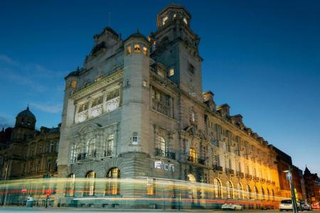
- Local Attractions -
General Hotel location
Outer City Centre Location - 0.6 miles from the Centre of Liverpool
Other Grid references:
Degrees minutes seconds (DMS)
53° 24' 26" North - 2° 59' 21" West
X (Easting) , Y (Northing)
334335,390516
Ordnance Survey Grid Reference , (also known as British National Grid (BNG)
SJ 34335 90516
what3words ///