- Home ›
- Region North East England ›
- Tyne and Wear ›
- Hotels in South Shields ›
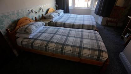
- Full Overview Annies Guest House
- Further information >
- maps & directions -
- Local Attractions -
Traveling By Car
Degrees minutes seconds (DMS)
54 deg, 59 min, 51 secs North - 1 deg, 25 min, 23 secs West
X (Easting) , Y (Northing)
437004,567145
Ordnance Survey Grid Reference , (also known as British National Grid (BNG)
NZ 37004 67145
what3words ///
= rugs.flat.slimy
Traveling By Train
Check Prices and Times -, The Heworth Railway Station with a station code of HEW is approximately 6.1 miles away, direct line, point to point note: may be longer by road
The South Shields underground / light rail stop at postcode NE33 1BT is approximately 704 yards away on the Yellow line - the Tyne and Wear Metro service
Other Grid references:
Degrees minutes seconds (DMS)
54 deg, 59 min, 51 secs North - 1 deg, 25 min, 23 secs West
X (Easting) , Y (Northing)
437004,567145
Ordnance Survey Grid Reference , (also known as British National Grid (BNG)
NZ 37004 67145
what3words ///
= rugs.flat.slimy